Akmola oblast overview
Akmola oblast (also spelled Akmolinskaya) is a region of Kazakhstan that lies in the steppe zone in the northwest Kazakh Upland and is drained by Ishim and Nura rivers.
In the southwest of Akmola oblast there are lakes Tengiz and Kurgaldzhin. The terrain of Akmola region is mainly rolling plain, with black earth and chestnut soils in the north and center and saline brown soils in the extreme southwest and east.
Akmola oblast capital is Kokshetau city. The word “akmola” is from Kazakh people language and means “white sacred place”.
Akmola oblast population is about 745,000 (2009) on the territory of 146,200 sq. km.
Akmola oblast history
Akmola oblast of Russian Empire with Omsk as its center was established on October 21st, 1868. In 19th century Akmolinskaya oblast occupied much more territory and was the largest oblast in the Middle Eastern territories of Russian Empire. Akmolinsk (AkMola, Tselinograd, Astana at present) was one of the main cities of the region.
In August 1920 Akmola gubernia with the center in Petropavlovsk city was formed as a part of Kirgiz ASSR (since 1925 - of Kazakh ASSR) which was a part of RSFSR. On October 14th, 1939, Akmola oblast was formed. On December 26th, 1960, Akmolinskaya oblast was abolished, the territory of the oblast became a part of Tselinny kray. On March 20th, 1961, the city Akmolinsk was renamed into Tselinograd.
In 1992 Tselinograd was renamed into Akmola (since 1998 - Astana) and the oblast - into Akmolinskaya. On April 10th, 1999, 3 southern districts of North-Kazakhstan oblast together with the cities Kokshetau, Schuchinsk and Stepnyak became the part of Akmolinskaya oblast. At the same time the administrative center of Akmolinskaya oblast was transferred from the capital of the country Astana to Kokshetau.
Akmola oblast landscapes
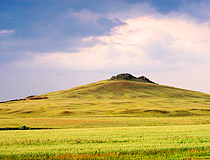
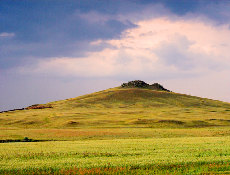
Akmola oblast, Kazakhstan landscape
Author: Andrey Bogdanov
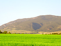
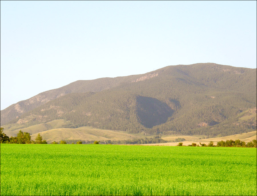
Akmola region landscape
Author: Dmitry Sidorenko
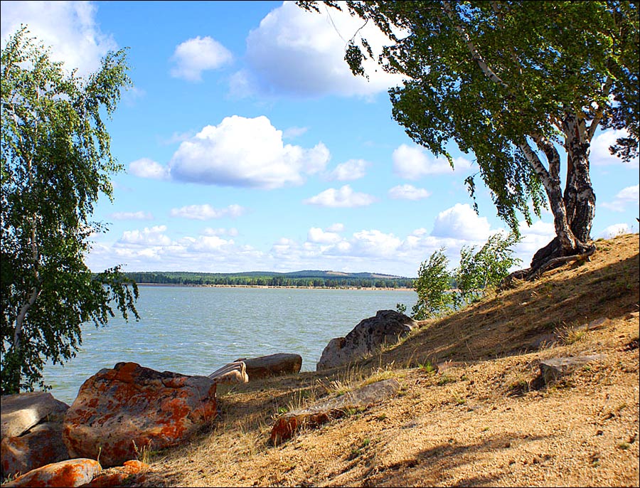
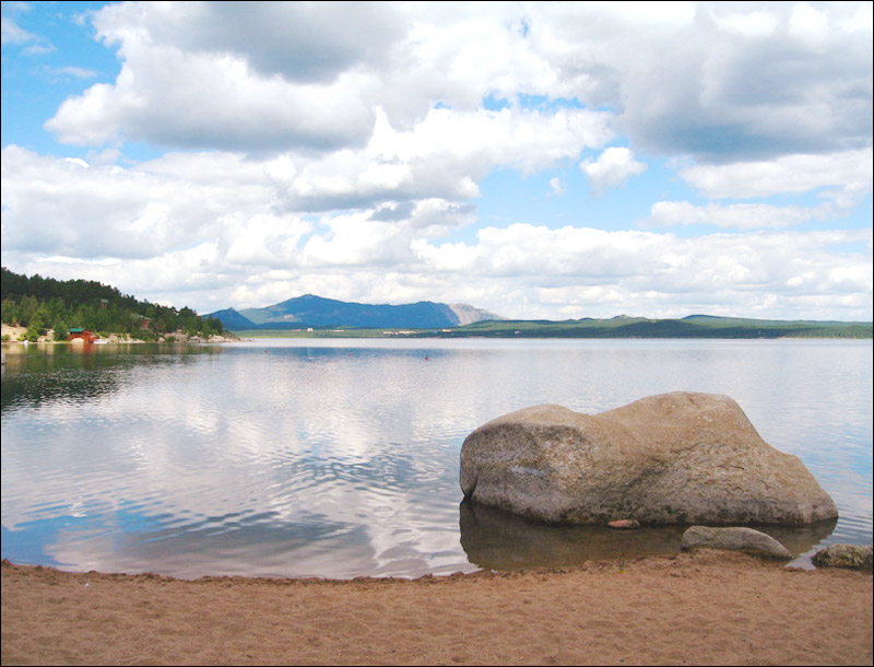
Akmola oblast nature view
Author: Sergei Bai
Akmola oblast economics
Urban communities of Akmola oblast include Kokshetau city (capital city of the region), politically separated Astana city (Kazakhstan capital), Akkol, Atbasar, Makinsk and Stepnogorsk.
The Scientific Research Institute for Grain Farming is located at Shortandy. The population of Akmola region consists mainly of Russians, Kazakhs, Germans, and Ukrainians.
On the territory of Akmola oblast there are a lot of prospected deposits which are unique in their content and scale: gold, silver, uranium, molybdenum, technical diamonds as well as iron ore, coal, dolomite, mineral waters and curing mud.
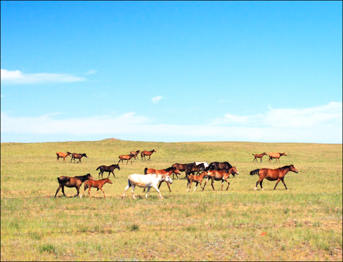
Agricultural production is one of the main branches of economy. Akmola province of Kazakhstan is a major producer of grain (wheat, pats, and barley) and livestock products, with animal husbandry, particularly sheep raising, dominant in the drier southwest and northeast and crop cultivation in the centre. The region produces about 25% of all the high-quality wheat output of Kazakhstan.
The industrial potential of Akmola region is presented by plants of mining and processing industries, mainly food, machine-building and non-ferrous metallurgy. Molybdenum production is developing as well as chemical and construction industries.
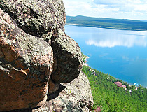
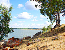
Akmola oblast nature views

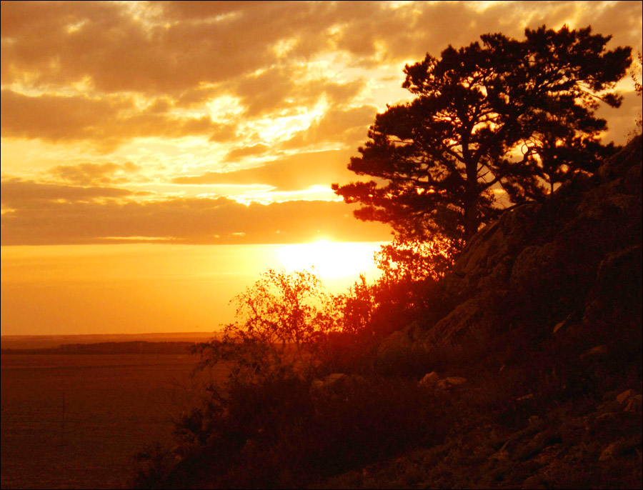
Akmola region nature view
Author: Utkin Mikhail
Akmolinskaya oblast view
Author: Utkin Mikhail
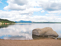
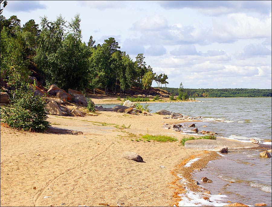
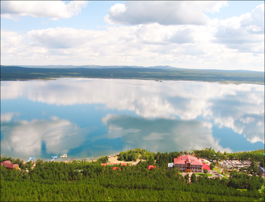
Akmola region lake scenery
Author: Sergei Bai
Akmola oblast features, attractions
The climate of Akmola region is of sharp continental type and extremely droughty with short warm summers and long frosty winters with strong winds and snowstorms. The relief in the oblast is various: most of the territory consists of steppes, flat and river valleys, mountains covered with forests. On the basis of mountainous pine-tree forests several resorts and sanatoriums are formed as well as Borovskoye and Zerendinskoye hunting districts.
Akmola oblast occupies the territory very favorable for tourist business development. There are unique natural and climatic conditions - beautiful landscapes with wonderful combination of rocky mountains, fur-tree forests, lakes with convenient beaches, recreation lake areas of the resort district “Burabai”, lakes Jockey, Katarkol, Maibalyk, Bolshoye and Maloye Chebachye. These areas can compete with the most well-known resorts of CIS states.
Over 1,000 archeological and historical monuments located on the territory of Akmola oblast are especially valuable. Together with virgin natural beauty they give the area special coloring and make it extremely attractive for tourists from all over the world. Developed net of roads, hotels, camping-sites and hospitality make any place of the area available.
Two national nature parks “Burabai” and “Kokshetau” are formed for preserving unique flora and fauna. One of the largest in Kazakhstan ornithological reserve “Korgalzhynsky” is the birds’ paradise inhabited by dwell birds registered in the Red Data Book of Kazakhstan.