Kzyl-Orda oblast overview
Kzyl-Orda oblast (also spelled Kyzylorda) is situated in southern Kazakhstan. The region is located to the east of the Aral Sea in the Low Syrdarya river, mainly within Turanskaya lowland (50-200 m high).
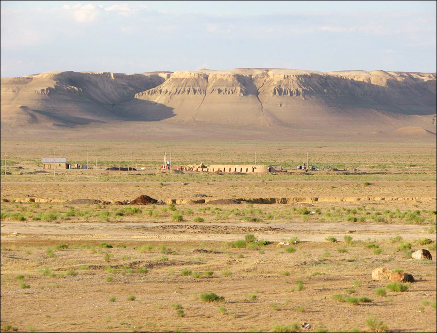
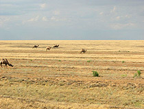
Large part of Kzyl-Orda oblast is covered by Aral Karakum and Kyzylkum deserts, making it one of the hottest and most arid regions of Kazakhstan. The capital city of the region is Kyzylorda. Kzyl-Orda origin of name: Kazakh kzyl = red, orda = camp.
Kzyl-Orda oblast has the population of about 637,000 (2009) on the territory of 226,100 sq. km.
Kzyl-Orda oblast facts
The climate of Kzyl-Orda oblast is of sharp continental type and extremely droughty with long, hot and dry summers and comparatively warm and short winters with little snow. The average temperature in July in the north-west is 26 degs C, in the south-east 28 degs C above zero, in January correspondingly 3,5 degs C and 20 dgs C below zero.
Precipitation in the north-west at the Aral Sea shore is 100 mm (the least in Kazakhstan), in the south-west at the foot of Karatau mountain to 175 mm. Agriculture is possible only with water from Syr River.
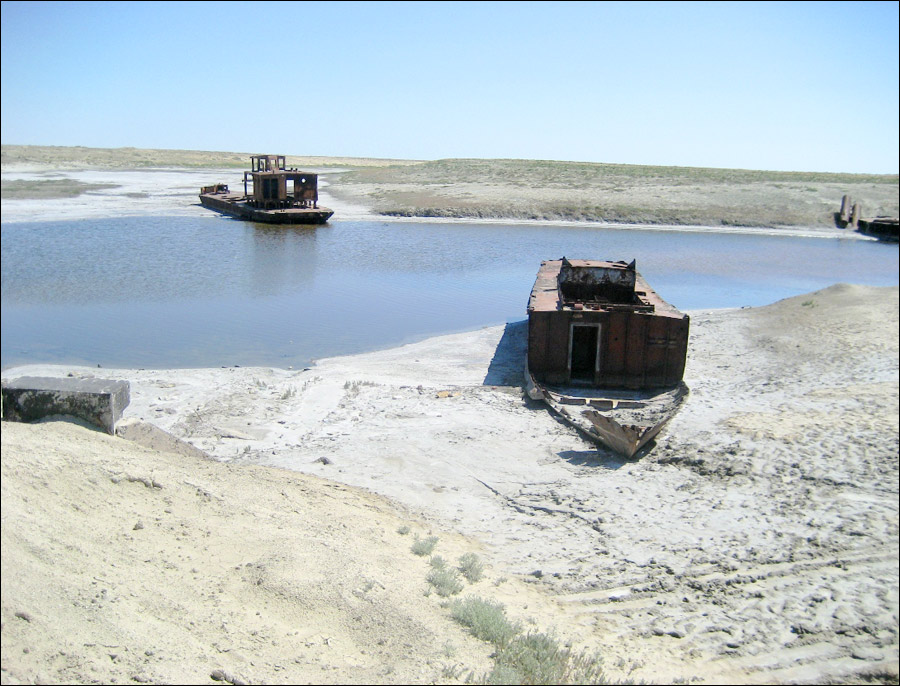
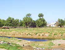
Kzyl-Orda oblast also includes north-eastern part of the Aral Sea. The only large river Syrdarya flows across the central part of the oblast from south-west to north-west for about 1,000 km.
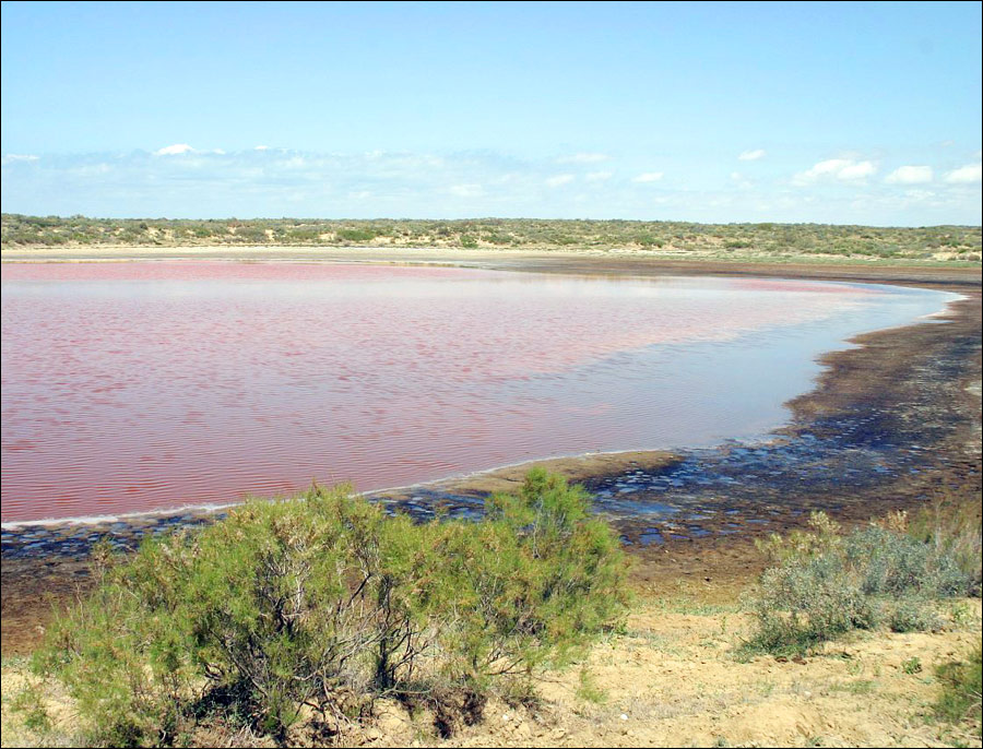
There are a lot of salt lakes (Zhaksy-Kykysh, Kamyslybas, Arys and others), they often turn dry by summertime; there is curing mud in the lakes Kupek and Teresken. Considerable part of the territory is occupied with sand almost without any plants.
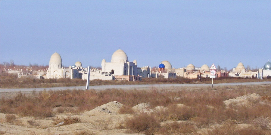
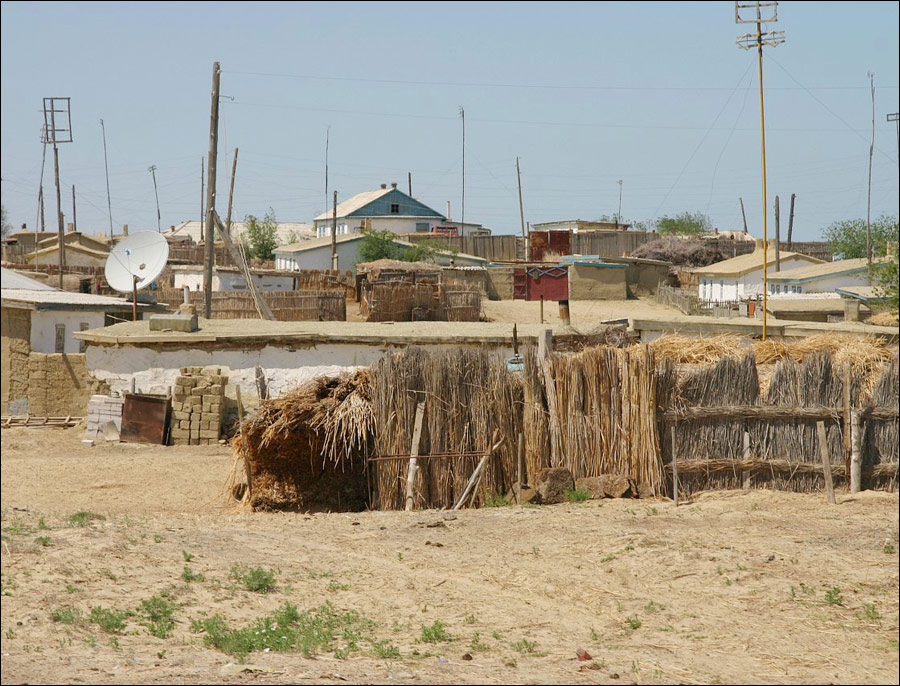
The population of Kzyl-Orda region is two-thirds urban, located mainly along Syrdarya River valley. About 70 percent of Kzyl-Orda oblast population are Kazakhs, the rest include Russians, Koreans, and Ukrainians. The major cities of Kzyl-Orda region are Kzyl-Orda, Aralsk and Novokazalinsk.
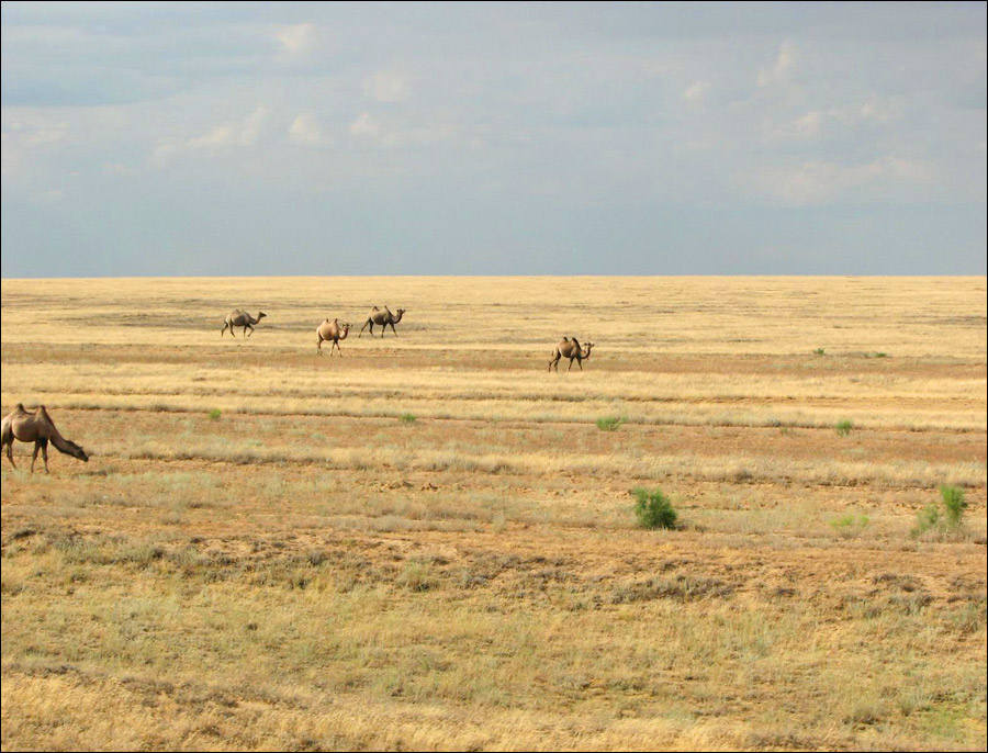
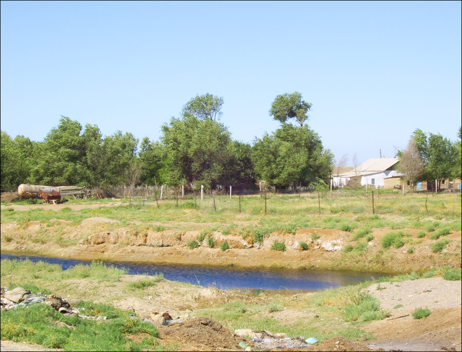
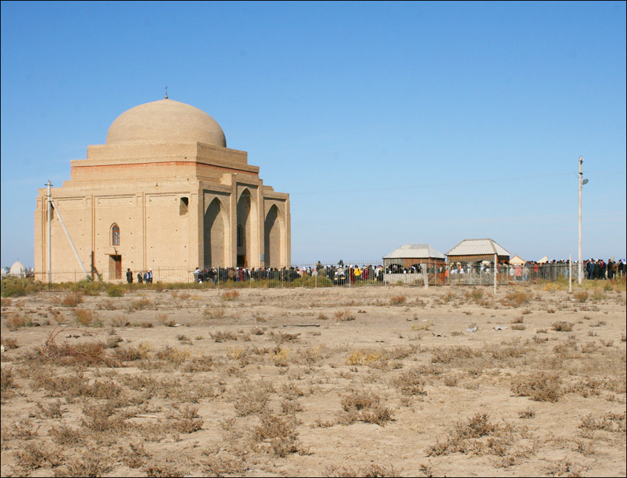
Kzyl-Orda oblast landscapes
Kzyl-Orda oblast, Kazakhstan landscape
Author: Ruslan Hisamutdinov
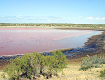
Kyzylorda oblast lake view
Author: Eugen Belayev
Kyzylorda region landscape
Author: Zhalgas Ospanov
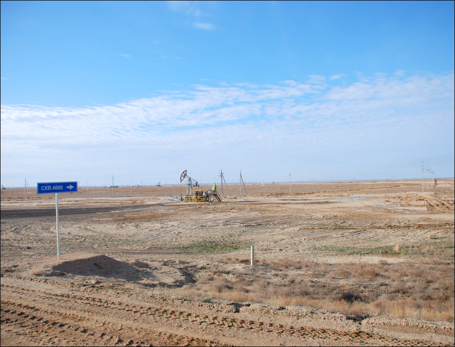
Kzyl-Orda oblast economics
Rice is the most important crop, and Karakul sheep are raised in the desert of Kzyl-Orda region. Mineral deposits include various salts, ochre, and construction materials.
There are fisheries on Aral Sea and a fish cannery at Aralsk. Kzyl-Orda oblast is traversed by Orenburg-Tashkent railway, and there is shipping on Aral Sea.
Russian space satellites are sent up from the large launch site near Baikonur city.
In April 2009 in Shieliysky district the joint Kazakhstan-Chinese company began working out the uranium deposit “Irkol”.