Turkistan region overview
Turkistan oblast (former Chimkent oblast, South Kazakhstan oblast) is the most southern region of the country. The capital city is Turkistan.
Turkistan region has the population of about 1,977,000 (2018) on the territory of 116,280 sq. km.
Turkistan region facts
The center of the Turkistan region lies along the middle reaches of the Syr Darya River. The north includes parts of Muyun-Kum and Betpak-Dala deserts, and Kyzylkum Desert occupies the southwest. Mountains are confined to the center and the southeast, where peaks rise to 14,100 feet (4,300 m). The climate of the region is hot and dry.
The major cities Turkestan, Kentau, Sayram, Lenger and Arys (the junction of Orenburg-Tashkent and Turk-Sib railways).
Turkistan region features
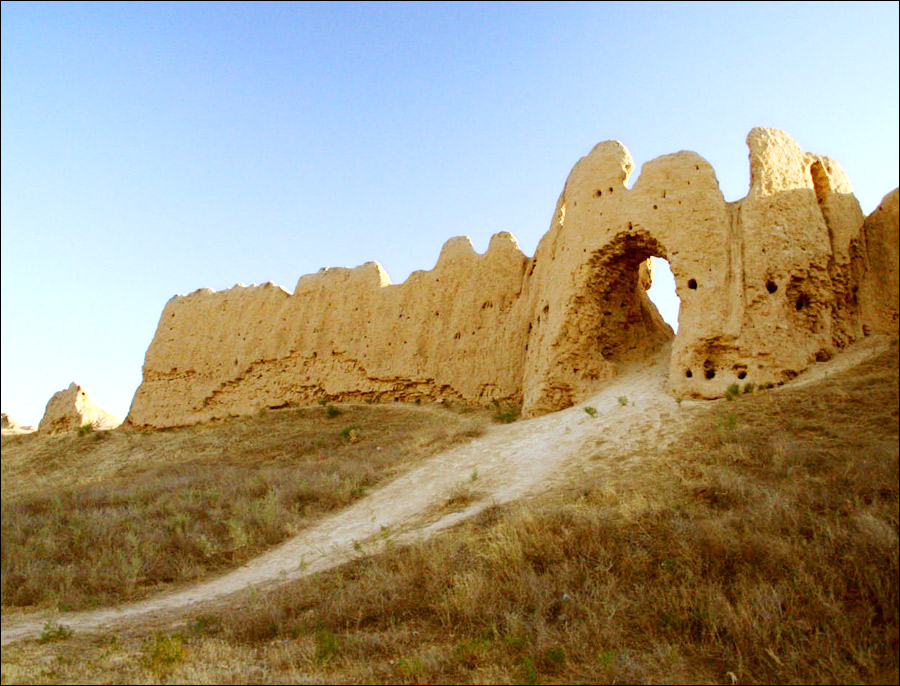
Since ancient time this region occupied a special place in the history of Kazakhstan and the whole Middle Asia. The area where Great Silk way stretched was flourishing in all respects. The cities Otyrar, Isfidzhab (Sayram), Syganak, Sauran, Sozak, Tukestan (Yassy) became not only trade but scientific and cultural centers as well.
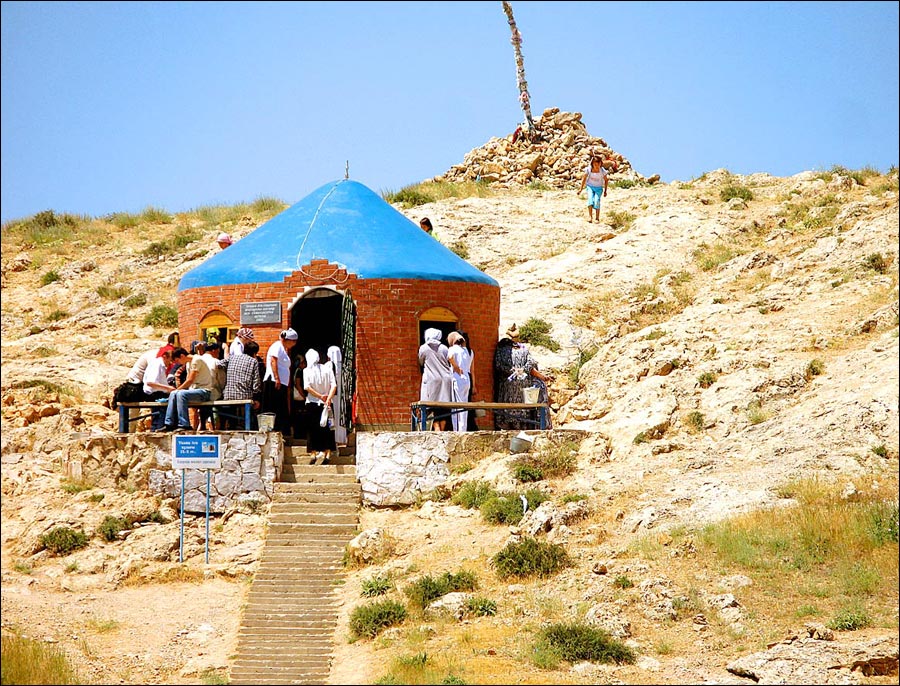
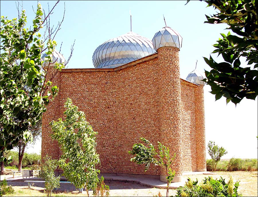
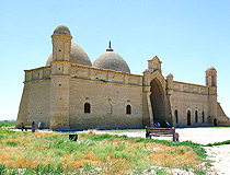
The memory of the ancient centuries remained as architectural monuments, such as the mausoleum of Kozha Akhmet Yassauyi, Arystan baba, Iskak baba, Abdel-Aziza, Meralibaba, Karashash Ana, Ibragim ata and madrasah Appak Ishana. For several centuries the town of Turkistan (Yassy) was a large Muslim center and in 16th-19th centuries the town was the residence of Kazakh khans.
The region was formed as an administrative unit in 1932. In the beginning of Soviet power Shymkent lead plant was constructed. At the end of 1941, a lot of industrial plants were evacuated to Shymkent city.
The region is multi-national, representatives of about 100 nationalities live there. Kazakhs constitute about half the population of the Turkistan region. Other groups include Russians, Uzbeks and Ukrainians.
June 19, 2018, by decree of the President of Kazakhstan, the South Kazakhstan region was renamed to Turkistan, and its administrative center was moved from Shymkent to Turkistan. Shymkent was removed from the South Kazakhstan region and received the status of a city of republican significance (a separate administrative unit, equal to the region).
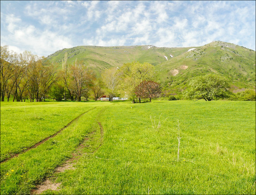
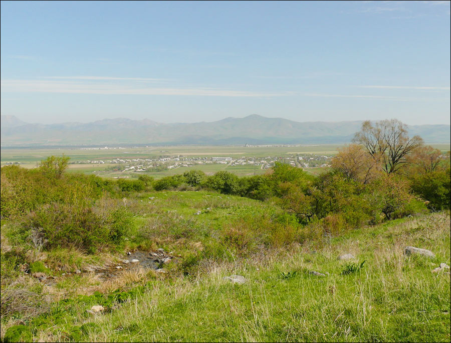
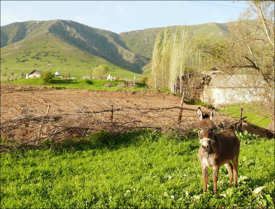
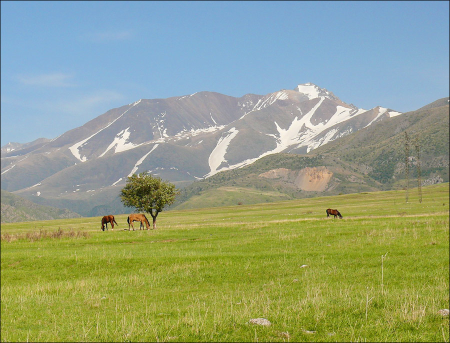
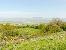
Turkistan region landscapes

Turkistan oblast landscape
Author: Mathias B.
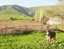
Turkistan region landscape
Author: Mathias B.
Turkistan oblast nature
Author: Mathias B.
Turkistan oblast economy
The Turkistan region is rich in natural deposits such as coal, iron ore, limestone, granite, marble, gypsum and quartz. The region is the leading one in Kazakhstan uranium deposits, the third one in phosphorites and iron ores.
The leading industries are nonferrous metallurgy, textiles, and food. Lead and zinc are mined in Karatau Mountains and lignite in Lenger area.
Plants of industrial infrastructure are also developed: power engineering, water communications and transportation. In general, the region can be called the southern gates of Kazakhstan by its location as its current boundaries in the south border with Uzbekistan and it is located at the crossroads of international transportation ways: Orenburg-Tashkent and Turkistan-Siberian.
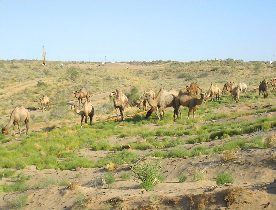
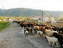
Agriculture is largely irrigated; main crops are cotton, grains (including rice), fodder, and vegetables, and there are extensive vineyards and orchards. Sheep are raised on the desert pastures in winter and the alpine meadows in summer in South Kazakhstan region.
Turkistan oblast scenery
Turkistan oblast scenery
Author: Utkin Mikhail

Turkistan region scenery
Author: Utkin Mikhail
Turkistan village scenery
Author: Mathias B.
Turkistan oblast attractions
The Turkistan region has natural resources, which can be used for recreation and curing. These are mineral waters of Saryagash sanatorium and mineral thermal waters 20 km to the south of Kentau city, at the foot of Karatau mountain, in the picturesque valley of the river Shaga, thermal springs close to the settlement Temirlanovka, Ordabasinsky district and at the settlement Mankent as well as favorite climate for people with heart diseases in the area of Belye Vody, Tyulkubas and the village Turar Ryskulov.
In the western part of Tyan-Shan mountains there is the reserve Aksu-Dzhabagly. It is named after 2 rivers flowing through the canyon - Aksu and Dzhabagly. Rare species of flora and fauna have preserved there. A lot of them are included into the Red Data Book; it was the reason for forming the unique reserve in this picturesque place.