Kostanay oblast overview
Kostanay oblast (other spellings are Qostanay, Qostanai, Kostanai, Kustanai or Kus-tanai) is located in the northern Kazakhstan. The capital city of the region is Kostanay.
Kostanay oblast population is about 886,000 (2009); the land area - 196,000 sq. km.
Kostanay oblast facts
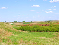
Kostanay oblast contains a portion of Turgay Lowland, which lies between the foothills of Urals mountains and Kazakh Uplands and connects West Siberian Plain in the north with Turgay Tableland in the south.
A wide, fertile black-earth belt in the northern part of Kostanay region changes into dry steppe toward the south. The climate of Kostanay oblast is continental and dry. Main river of Kostanay region is Tobol, flowing north. There are a lot of lakes, the largest of which is Kushmurun.
Kostanay region main cities are Kostanay (the capital), Rudniy, Arkalyk, Dzhetygara, Lisakovsk. Kostanay oblast population is composed of Russians, Kazakhs, Ukrainians, Germans, Belorussians, and Tatars.
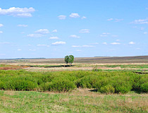
Kostanay oblast nature
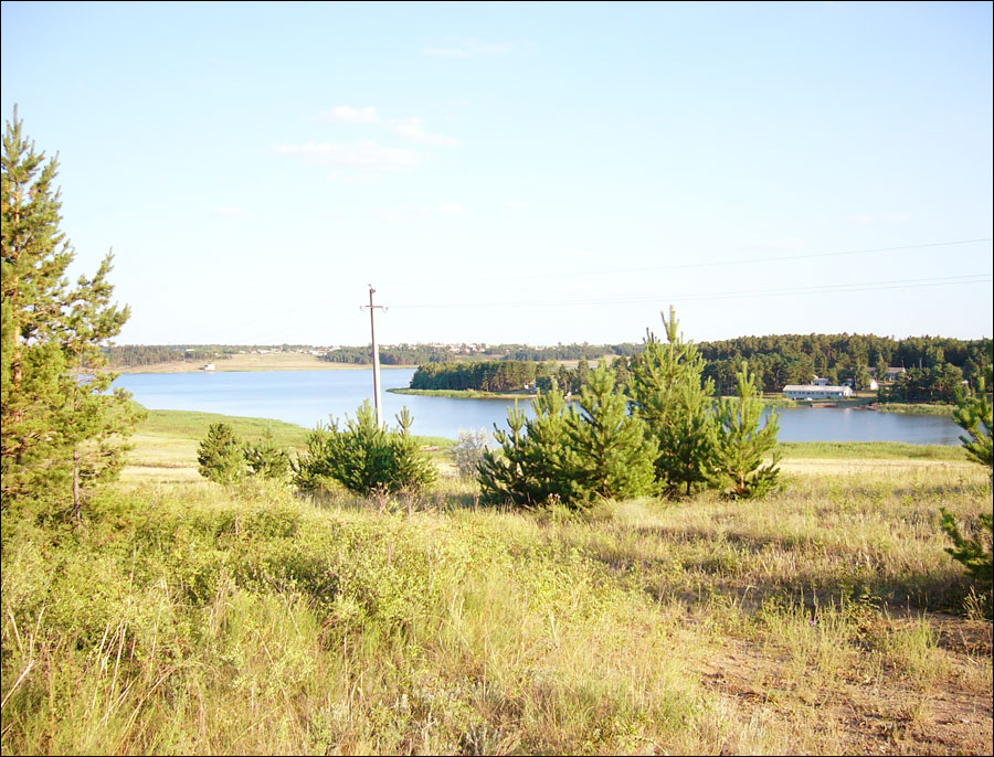
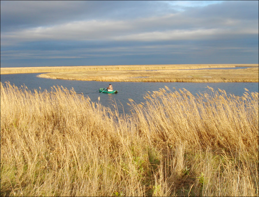
Kostanay oblast, Kazakhstan nature
Author: Vladimir Chichuga
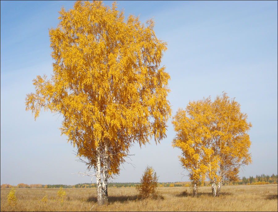
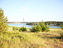
Kostanai oblast nature
Author: Alex Rezepov
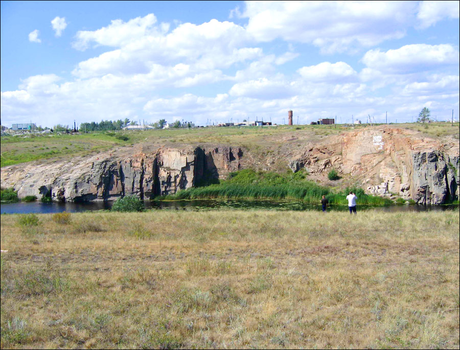
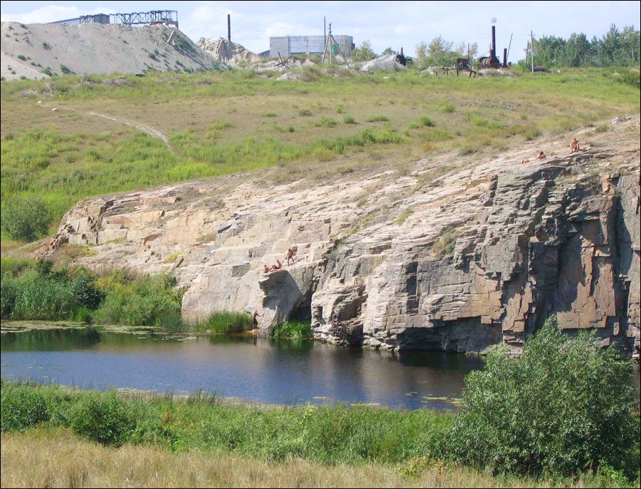
Kostanai oblast landscape
Author: Alex Rezepov
Kostanay oblast economics
Mining, developed particularly since the 1950s, and agriculture dominate in Kostanay region economics.
Iron ore is mined in large quantities at Rudniy and Lisakovsk, and there are also significant iron-ore deposits at Kachar, asbestos at Dzhetygara, and low-grade bauxite at Krasno-oktyabrsky in Kostanay oblast.
Kostanay region is a major producer of grain, particularly wheat. The sown areas were quadrupled as a result of the Virgin and Idle Lands Campaign in the mid-1950s. Cattle and sheep are also raised in Kostanay region of Kazakhstan.