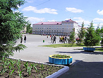
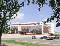
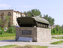
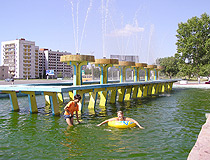
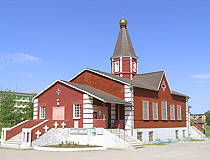
Rudniy overview
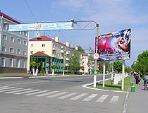
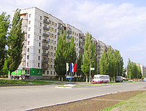
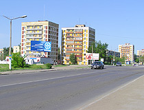
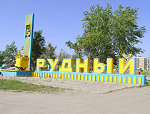
Rudniy (also spelled Rudny) is standing on Tobol river of Kostanay oblast, Kazakhstan. Rudniy is one of the industrial and cultural centers of the region.
The climate of the area is of sharp continental type, with distinct change of 4 seasons. In winter the temperature might reach 25-40 degs C below zero and last for a week. In summer it might be 30 degs C above zero and this lasts for a fortnight.
Rudniy has the population of about 112,000 (2010).
The phone code of the city is +7 31431; postal code - 111500.
Rudniy history
On February 18th, 1949, the pilot of one prospecting expedition M.G.Surgutanov paid attention at strange way of the compass operating while he flew over “Sarbai” area. Several months later geologists and geographers arrived to that magnetic anomaly. So Sokolovsky deposit of iron ore was found.
In summer 1954 Soviet government resolved to construct a group of enterprises and a town near the deposit. In May 1955 the first builders arrived. At first miners, geologists and builders lived in the settlement Komsomolsk. There were additional tents and temporary hoses.
In 1955 first 4,000 Komsomol members arrived to Bolshoi Turgai. The largest tent camp was located in the cinema “VLKSM” area. It consisted of 70 tents and that was why it became known as Semidesyatipalatinsk (70 tents). Other tent districts were located near settlement Komsomolsky, in the area of bread-making plant people lived in 200 tents - 20 persons in each.
Tent districts had their streets, their names are still preserved in the city: Stroitelnaya, Pioneerskaya, Komsomolskaya, Ukrainskaya, Kievskaya and others.
The city was founded 3 km from Alexeyevka. The first general plan was adopted in 1953 and was supposed for 22,000 people. But already in 1954 the plan was re-worked for the population of 30,000.
In summer 1956 Rudniy received the status of the workers’ settlement. Komsomolsky was also included. On August 30th, 1957, it was transformed into Rudniy.


