Kokshetau overview
Kokshetau, also spelled Kokcetav, is a city and administrative center of Akmola oblast (region) of Kazakhstan. Kokshetau city lies along the southern edge of Ishim Steppe of Kazakhstan.
Kokshetau has the population of 147,200 (2010) on the land area of 400 sq. km.
Kokshetau phone code - +7 7162; postal code - 020000.
Kokshetau facts
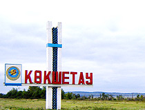
Kokshetau origin of name is from kazakh word “kokshetau” which means “sky-colored mountain”.
The climate in Kokshetau is of sharp continental type. The average temperature is about 3 degs C above zero. Winters are frosty with little snow, summers are hot and dry.
In 1996 Kokshetau State University named after Shokan Ualikhanov was formed on the basis of existing institutes: agricultural, teachers’ training as well as the branch of Karaganda technical institute. There are two museums in the city.
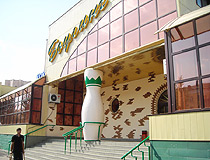
Kokshetau views
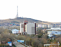
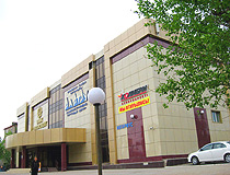
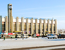
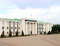
Kokshetau city general view
Author: Dimash
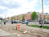
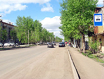
Kokshetau city street view
Author: Samat Amirzhanov
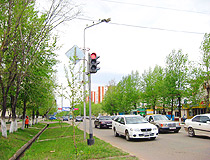
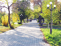
Kokshetau city, Kazakhstan street
Author: Samat Amirzhanov
Kokshetau history
Kokshetau was founded in 1824 as an administrative outpost when Russians extended their control over Kazakhs. The settlement was named Kokchetav.
Kokchetav town became a district administrative center in 1868 and an oblast center in 1944, but Kokchetav city greatest expansion occurred in the 1960s following the campaign to open virgin lands in Kazakhstan to agriculture and the construction of important new factories in the region.
On October 7th, 1993, Kokchetav was renamed into Kokshetau. In spring 1997 Kokshetau oblast was abolished and the city stopped being its regional center. On April 8th, 1999, after Akmola and North Kazakhstan oblasts were reorganized Kokshetau became the regional center of Akmola oblast.
Today Kokshetau city is a substantial industrial center and the junction of Trans-Kazakhstan and Middle Siberian railways.




The comments of our visitors