CAT | Photos
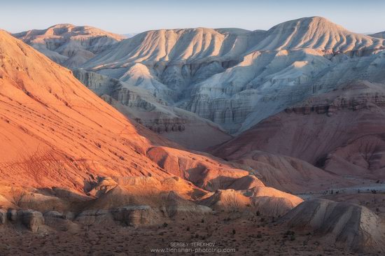
Aktau Mountains (translated as “white mountains”) are chalk mountains of different colors, mostly white, located in the territory of the national park of Altyn-Emel in the central part of Almaty Oblast. It will take you about 5-7 hours to get here from Almaty. Aktau Mountains on Google Maps. Photos by: Sergey Terekhov.
Tags: Almaty oblast
1
Landscapes of the Tekes River Valley
No comments · Posted by Sergei Rzhevsky in Nature, Photos, Regions
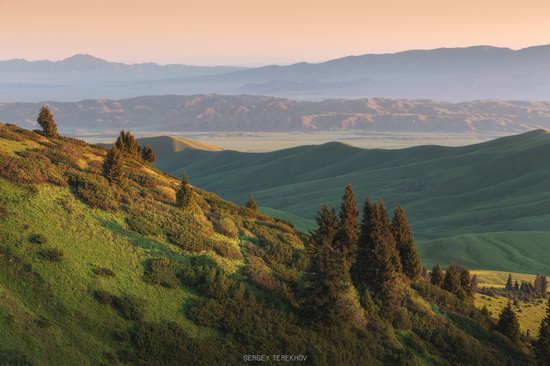
On the territory of Kazakhstan, the Tekes River flows mainly in a wide intermountain valley in Raiymbek District – one of the most beautiful places in Almaty Oblast located in its southeastern part. This area is rarely visited by tourists, which contributed to the preservation of its pristine nature. Photos by: Sergey Terekhov.
Tags: Almaty oblast
1
Almaty – the view from above
No comments · Posted by Sergei Rzhevsky in Cities, Photos, Travel
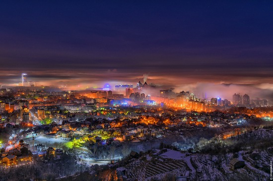
Almaty is the largest city in Kazakhstan with a population of about 1.8 million people. From 1991 to 1997, it was the capital of the country. The city is located in an intermountain depression at the foot of the mountains of Zailiysky Alatau in the extreme south-east of the republic.
The following photos of Almaty were taken at different times of the day and the year from the foothills surrounding the city and Almaty skyscrapers. The author of the photos published on voxpopuli.kz is the famous Kazakhstan photographer Maxim Zolotukhin.
Tags: Almaty city
16
Pristine Beauty of the Dzungarian Alatau
No comments · Posted by Sergei Rzhevsky in Nature, Photos, Travel
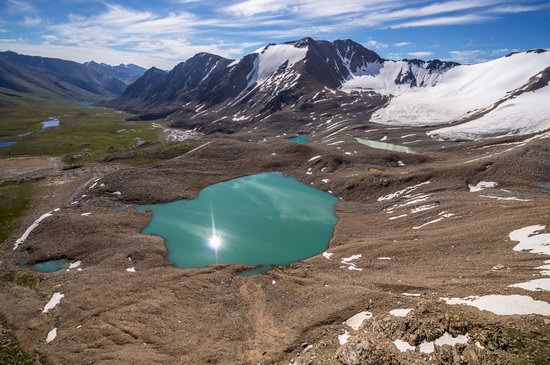
The Dzungarian Alatau is a mountain range located in the northeast of the Almaty region of Kazakhstan, between the Ili River and Lake Alakol. The range extends from the west-southwest to east-northeast along the state border of Kazakhstan and China.
The length of the range is about 450 km, the width – 50-90 km. The main peaks of the Dzungarian Alatau rise above 4,000 m. The Dzungarian Alatau on Google Maps. Photos by: Grigory Bedenko.
Tags: Almaty oblast
15
Rocky Scenery of the Arkat Mountains
No comments · Posted by Sergei Rzhevsky in Nature, Photos, Regions
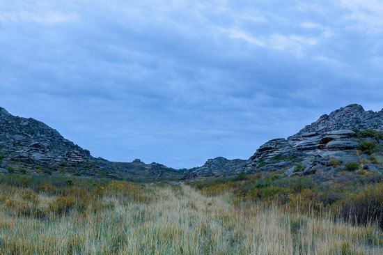
The Arkat Mountains are located in the central part of the East Kazakhstan region, in the area of the settlement of Arkat.
The mountains are very old and almost completely destroyed by erosion except for separately standing rocks. However, despite this, the local landscapes are very picturesque and attract people who prefer active rest. The Arkat Mountains on Google Maps. Photos by: Ilya Afanasyev.
Tags: East Kazakhstan oblast
2
Charyn – the Grand Canyon of Kazakhstan
No comments · Posted by Sergei Rzhevsky in Nature, Photos, Travel
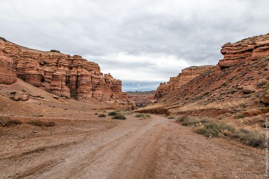
Charyn (Sharyn) Canyon, stretching for 154 km along the Charyn River, is located about 200 km east of Almaty, near the border with China, part of the Charyn National Park.
This picturesque natural monument consists of sedimentary rocks formed about 12 million years ago. The height of the rocks reaches 150-300 m. Charyn Canyon on Google Maps. Photos by: Sergey Rubtsov.
Tags: Almaty oblast
17
Picturesque Chalk Landscapes of Boszhira
No comments · Posted by Sergei Rzhevsky in Nature, Photos, Travel
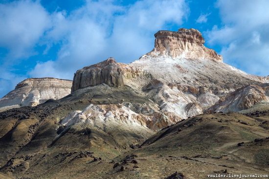
The tract of Boszhira is located in the western part of the Ustyurt plateau on the Mangyshlak peninsula of the Mangistau region.
Boszhira occupies a large area, it takes more than one day to explore it. This place is gradually becoming more popular among tourists. There are no pre-laid routes, you can go wherever you want. Boszhira on Google Maps. Photos by: Vladimir Mulder.
amazing kingdom of chalk cliffs
Tags: Mangystau oblast
6
Walk around the center of Almaty
No comments · Posted by Sergei Rzhevsky in Cities, Photos, Travel
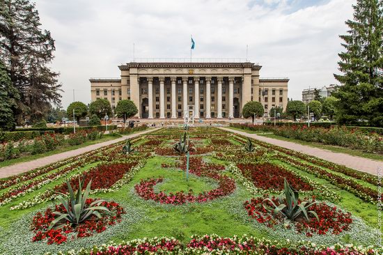
Almaty is the largest city in Kazakhstan with a population of about 1.7 million people. It is the only city in the country with a population of more than a million people.
The city is located at the foot of the Zailiysky Alatau Mountains in the extreme south-east of the republic. Let’s walk through the central part of Almaty on a nice summer day. Photos by: Sergey Rubtsov.
Tags: Almaty city
17
Walking through the center of Astana
No comments · Posted by Sergei Rzhevsky in Cities, Photos, Travel
Astana, meaning “capital” in Kazakh, is a city with a population of about 1 million people located in the north of Kazakhstan. It became the country’s capital in 1998.
Let’s take a walk in the city center during the days of Expo-2017 Astana – an international specialized exhibition held from June 10 to September 10, 2017. Photos by: Sergey Rubtsov.
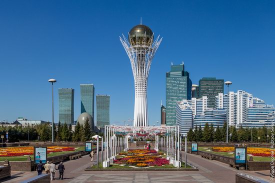
Bayterek – a monument and observation tower crowned with a golden ball, one of the symbols of the new capital of Kazakhstan.
Tags: Astana city
11
One Evening on the Roof in Karaganda
No comments · Posted by Sergei Rzhevsky in Cities, Photos, Travel
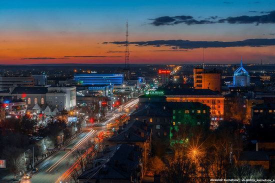
Karaganda is a city with a population of about half a million people, the capital of the Karaganda region of Kazakhstan.
Today, it is one of the largest industrial, economic, scientific, and cultural centers of the country. Let’s see how the center of Karaganda looks like in the evening. Photos by: Alexandr Kuznetsov.
Tags: Karaganda city
