8
Climbing Mount Bektauata in Karaganda Oblast
No comments · Posted by Sergei Rzhevsky in Nature, Regions, Travel
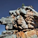
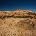
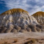
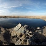
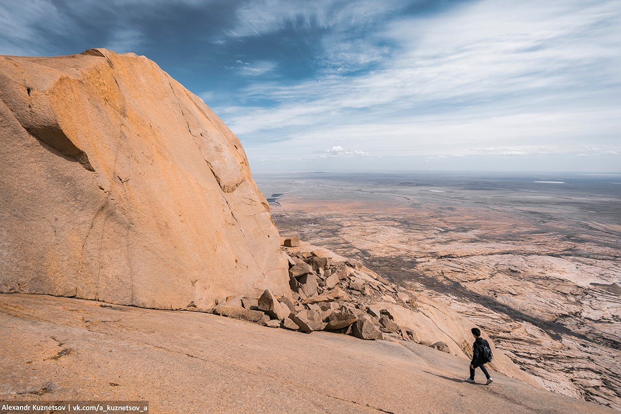
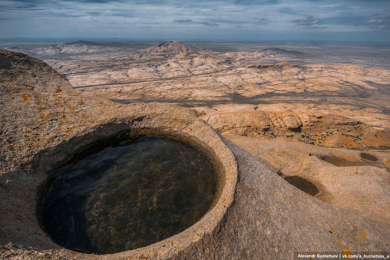
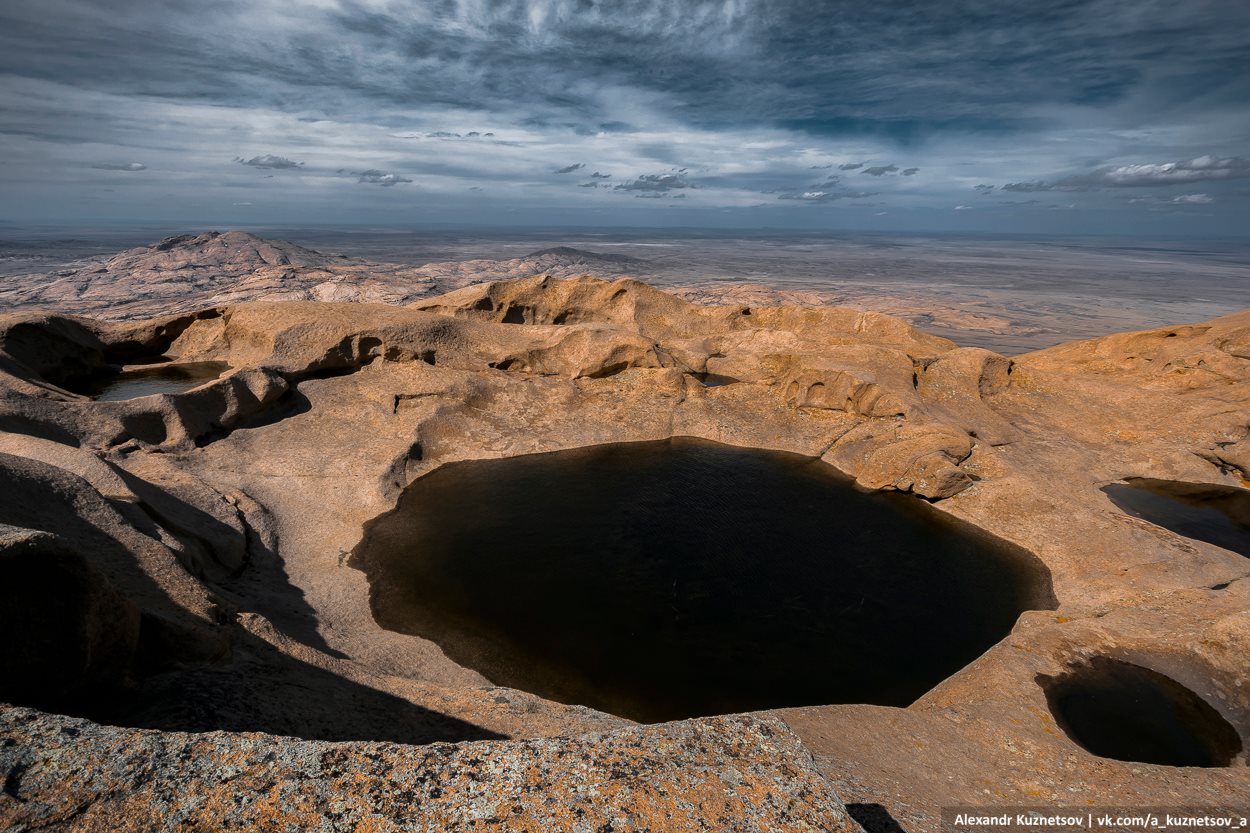
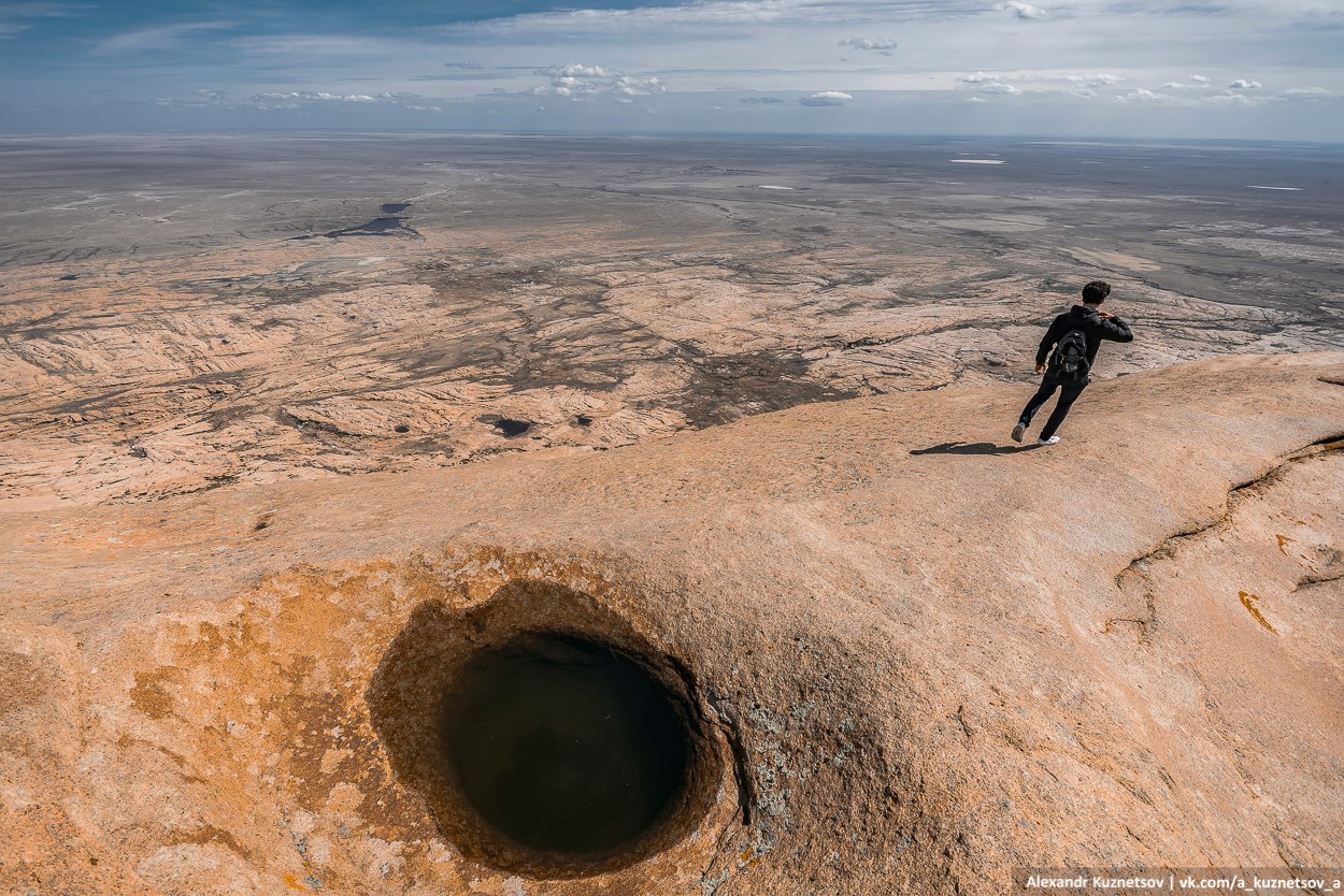
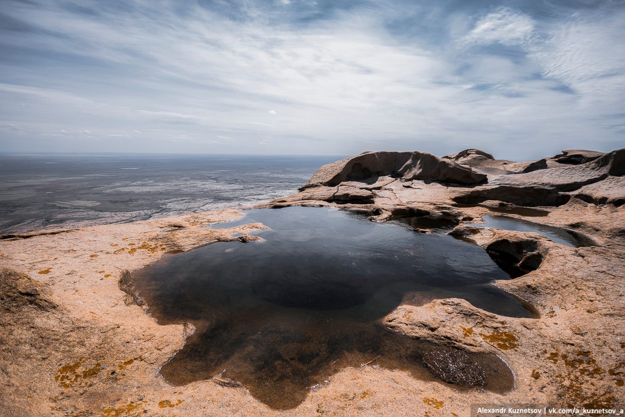
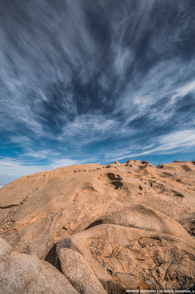
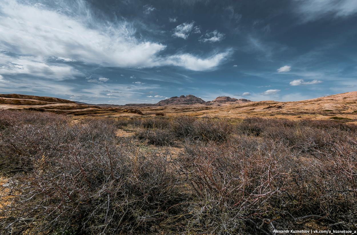
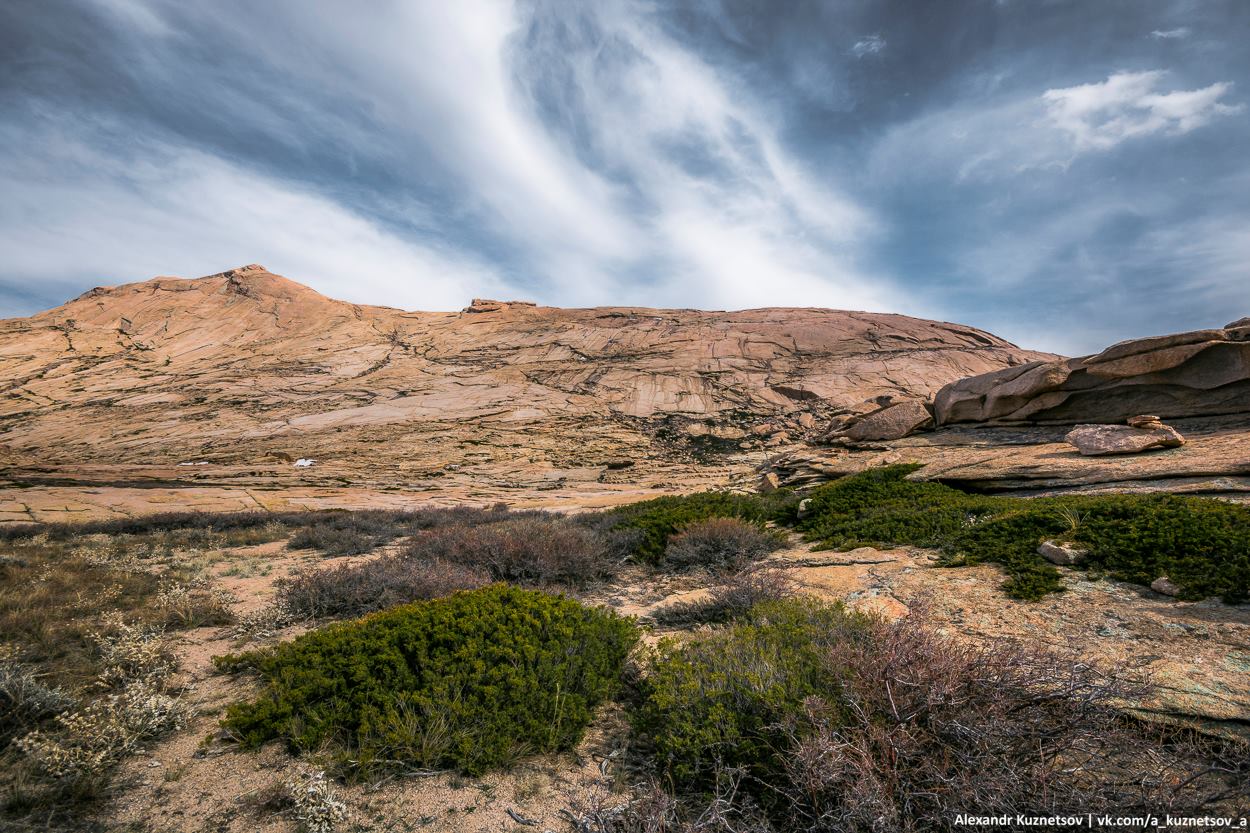
Bektauata or Bektau-Ata is a granite rock massif with a radius of about 6-7 km located about 60 kilometers to the north of the town of Balkhash in the southern part of Karaganda Oblast of Kazakhstan. This mountain area with an approximate height of 1,200 meters above sea level is known for numerous bizarre rocks, caves and small lakes.
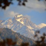
Located in the middle of the Kazakh steppe, Bektauata has its own unique flora. These photos were taken while climbing the tallest of its peaks named after the massif – Mount Bektauata (1,214 meters). Bektauata on Google Maps. Photos by: Alexandr Kuznetsov.
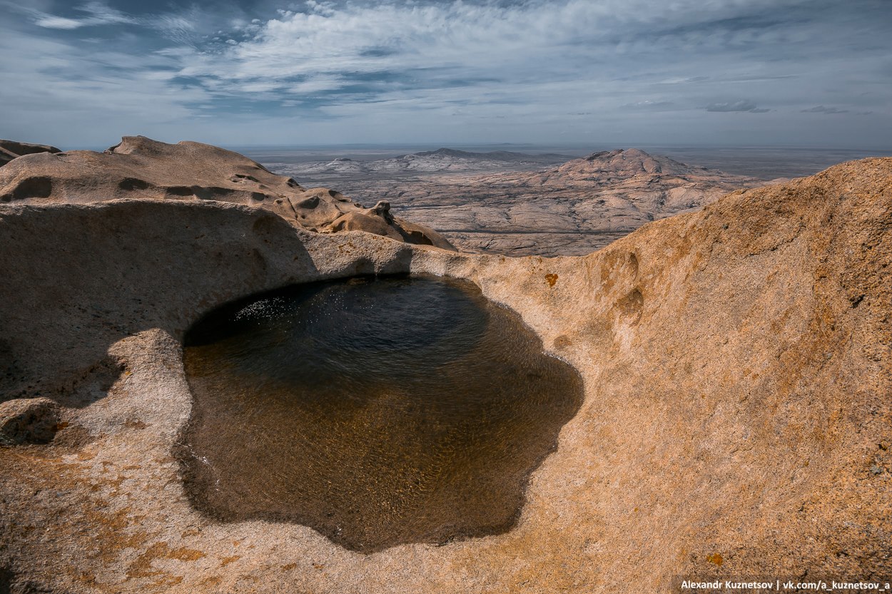
The name “Bektauata” is difficult to translate literally. One of the many legends tells about the saint Atabek, who lived during the times when the Kazakhs fought against the Dzungars. Once, fleeing from his pursuers, he hid in the largest cave of this mountain. And Allah Almighty supposedly opened a source of fresh water for the saint at the very bottom of the cave.
No matter how hard the enemy searched, they could not find this cave, because it was not at the foot of the mountain, but on a high cliff. Perhaps this is why Bektauata is called “Atabek Mountain”.
The famous Kazakh scientist Alkey Margulan explains this word as “Bek Mountain”, while the toponymist Erkebay Koishybayev connects it with the ancient Turkic word “biik” and translates the toponym Bektauata as a whole as “sacred high mountain”. These legends increased the number of pilgrims to this mountain, especially to the saint’s cave.
One of the researchers of the Balkhash region, N.I. Krasovsky, wrote in 1868: “The highest point is the Bektauata granite cliffs, which rise near the plateau, covering an area of about 600 square meters. The granite rocks are completely bare, devoid of vegetation, and the caves formed by water at a considerable height are considered sacred places by the inhabitants of the villages of Carson and Kerney.”


Tags: Karaganda oblast