1
Rock Formations of the Western-Altai Reserve
No comments · Posted by Sergei Rzhevsky in Nature, Regions
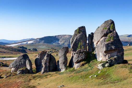
The Western-Altai State Nature Reserve was established with the goal of comprehensive protection of the Altai mountain system in 1992. It covers an area of about 56 thousand hectares at the northeastern border of the East Kazakhstan region, 60 km east of the city of Ridder.
This territory has a complex geological history. Here you can see picturesque rock formations – geological monuments of the distant past. The Western-Altai Reserve on Google Maps. Photos by: Ilya Afanasyev.
Tags: East Kazakhstan oblast · Ridder city
15
Rocky Scenery of the Arkat Mountains
No comments · Posted by Sergei Rzhevsky in Nature, Photos, Regions
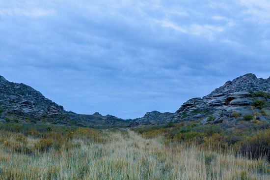
The Arkat Mountains are located in the central part of the East Kazakhstan region, in the area of the settlement of Arkat.
The mountains are very old and almost completely destroyed by erosion except for separately standing rocks. However, despite this, the local landscapes are very picturesque and attract people who prefer active rest. The Arkat Mountains on Google Maps. Photos by: Ilya Afanasyev.
Tags: East Kazakhstan oblast
2
Charyn – the Grand Canyon of Kazakhstan
No comments · Posted by Sergei Rzhevsky in Nature, Photos, Travel
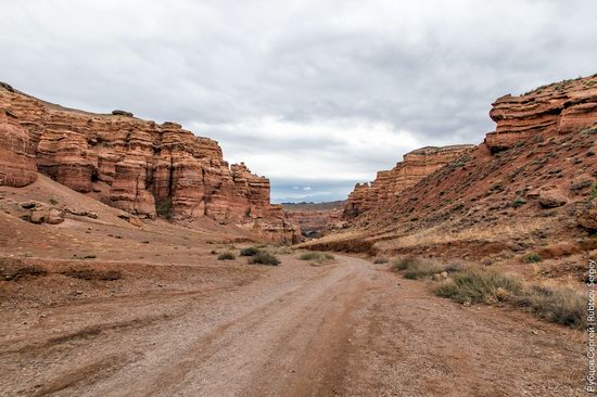
Charyn (Sharyn) Canyon, stretching for 154 km along the Charyn River, is located about 200 km east of Almaty, near the border with China, part of the Charyn National Park.
This picturesque natural monument consists of sedimentary rocks formed about 12 million years ago. The height of the rocks reaches 150-300 m. Charyn Canyon on Google Maps. Photos by: Sergey Rubtsov.
Tags: Almaty oblast
17
Picturesque Chalk Landscapes of Boszhira
No comments · Posted by Sergei Rzhevsky in Nature, Photos, Travel
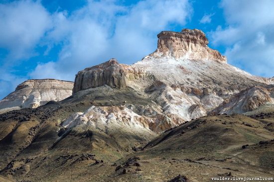
The tract of Boszhira is located in the western part of the Ustyurt plateau on the Mangyshlak peninsula of the Mangistau region.
Boszhira occupies a large area, it takes more than one day to explore it. This place is gradually becoming more popular among tourists. There are no pre-laid routes, you can go wherever you want. Boszhira on Google Maps. Photos by: Vladimir Mulder.
amazing kingdom of chalk cliffs
Tags: Mangystau oblast
25
Tien-Shan Astronomical Observatory
No comments · Posted by Sergei Rzhevsky in Entertainment, Science, Technology
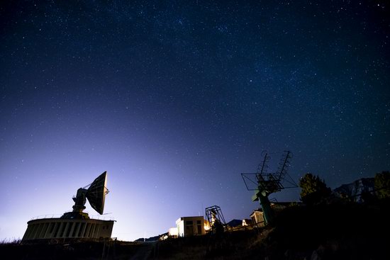
Tien-Shan Astronomical Observatory was founded in the mountains of Trans-Ili Alatau near Big Almay Lake, about 30 km south of Almaty, in 1957.
The height of the plateau on which this scientific object is located is 2,735 meters above sea level. Today, it is part of the National Center for Space Research and Technology of Kazakhstan.
Tags: Almaty oblast
13
Late Autumn in the Southeast of Kazakhstan
No comments · Posted by Sergei Rzhevsky in Nature, Regions, Travel
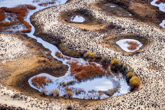
The southeastern part of Kazakhstan, a vast area known as Semirechye (Zhetysu), belongs to the few regions of Kazakhstan with rich bioresources.
Seven large rivers flow into Lake Balkhash – hence the name to the region. The longest river is the Ili, which brings to Lake Balkhash about 70% of all incoming water. Semirechye on Google Maps. Photos by: Grigory Bedenko.
Lakes in the delta of the Ili River sometimes have a very bizarre shape.
Tags: Almaty oblast
Let the New year
Be full of delight,
And every single day,
Be nice and filled with light!
Tags: No tags
27
Saryarka – Steppe and Lakes of Kazakhstan
No comments · Posted by Sergei Rzhevsky in Nature, Regions
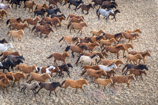
Saryarka is a vast steppe territory located in Northern and Central Kazakhstan, in the Akmola and Karaganda regions. It is known for its harsh climate, unique ecosystem with rich flora and fauna, and picturesque views.
Saryarka – Steppe and Lakes of Northern Kazakhstan is the first natural World Heritage site in Kazakhstan and Central Asia. It consists of two reserves, Korgalzhyn (Central Kazakhstan) and Naurzum (Northern Kazakhstan), with a total area of 450,344 hectares. Korgalzhyn Reserve of Saryarka on Google Maps. Photos by: Grigory Bedenko.
Tags: Akmola oblast · Karaganda oblast
10
Senek Sands – a small desert in the Mangystau region
No comments · Posted by Sergei Rzhevsky in Nature, Regions, Travel
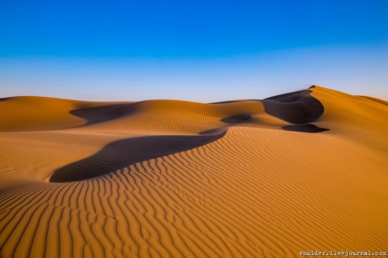
Senek is a village with a population of about 2,000 people located in the Karakiyansky district of the Mangystau region.
To the north-east of the village there is a sandy area named after the village – Senek Sands. Here you can see amazingly picturesque landscapes of a fairy tale desert. Senek Sands on Google Maps. Photos by: Vladimir Mulder.
Tags: Mangystau oblast
29
Valley of Castles in Charyn Canyon
No comments · Posted by Sergei Rzhevsky in Nature, Regions, Travel
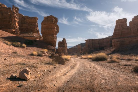
Charyn Canyon (also known as Sharyn Canyon) stretches for 154 km along the Charyn River on the territory of the Charyn National Park, about 200 km east of Almaty, near the border with China.
It is a magnificent natural monument built of sedimentary rocks, which age is about 12 million years. The height of the steep slopes of the canyon reaches 150-300 m. Charyn Canyon on Google Maps. Photos by: Sergey Terekhov.
Tags: Almaty oblast
