
30
Gambling in Kazakhstan: Development, Regulation, and Impact on the Economy
No comments · Posted by Sergei Rzhevsky in Entertainment
Over the years, gambling in Kazakhstan has undergone several transformations. Kazakhstan has witnessed changes in the gambling industry from early Czarist Russia up to 2007 when new laws were passed that banned gambling in most of the regions. Nevertheless, there are legal means to play casino games or bet online. Many of the minimum deposit casinos that are available in Canada, can also be accessed by gamers from Kazakhstan. These offshore betting websites offer low deposit bonuses, casino games, and much more.
Besides, the public perception of this hobby has gradually changed due to different circumstances. These include changes in legislation, the portrayal of gambling in media, and society in general. These factors have defined the current trends of gambling in Kazakhstan.

Image Source: Pixabay
Tags: No tags
22
The Heavy Burden of Unoptimized Images: What Happens When You Don’t Use an Image Size Reducer
No comments · Posted by Sergei Rzhevsky in Photos
Image optimization is the process of lowering an image’s file size without sacrificing its quality. This is accomplished using several methods, including resizing, compression, and selecting the correct file format. The primary goal of optimization is to ensure that images load quickly on web pages, thereby enhancing the overall user experience.
Numerous tools are available for image optimization, including software like Adobe Photoshop, online tools like TinyPNG, and automated services like Cloudinary. These tools employ different methods to reduce image sizes, making them essential to web development and maintenance.

(source: Pexels)
Tags: No tags
13
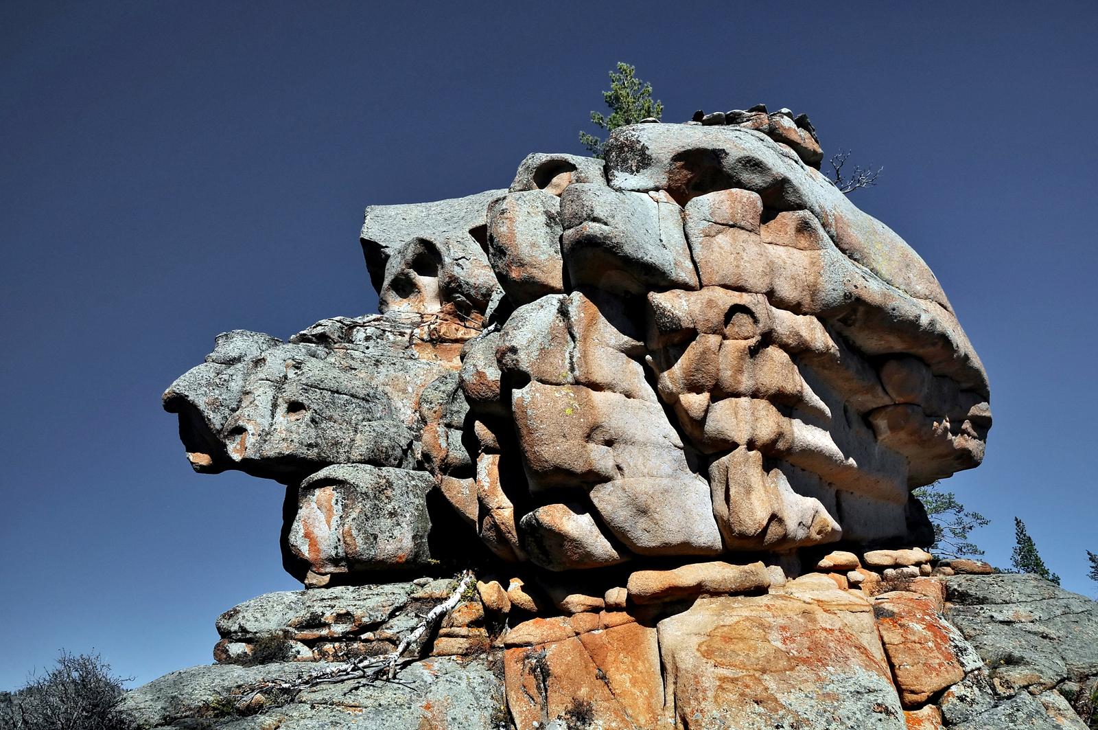
Bizarre Rocks of the Kent Mountains
No comments · Posted by Sergei Rzhevsky in Nature, Regions, Travel
The Kent Mountains, one of the oldest mountain ranges on Earth, is a very picturesque and unique natural and historical area. It is located in the Karkaraly district of Karaganda Oblast in central Kazakhstan and is part of Karkaraly National Park.
These mountains (the highest point is Mount Tursun, 1,469 meters high) is an island massif that rises like an impregnable granite wall above the surrounding steppe. A lot of mountain rivers and streams flow down from the mountains; through their valleys you can get inside this huge granite island and enjoy majestic views of pristine nature with bizarre rocks, boulders and ridges. The Kent Mountains on Google Maps. Photos by: Zekkadrb.
trekking in the ancient mountains
Tags: Karaganda oblast
6
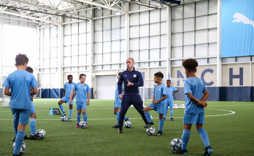
Manchester City: How the academy transformed the football landscape
No comments · Posted by Sergei Rzhevsky in Sports
Manchester City Academy is about to become the best in the world, and it’s proven by the facts.
The Manchester City FC Academy is widely regarded as one of the best in world football for its breakthrough approach to training, attention to detail and high standards of talent development. It has produced outstanding results in recent years, most notably with its U18 and U21 teams, which have been crowned Premier League champions in their respective age categories for three seasons in a row. This not only confirms the high level of training of the players, but also serves as an indicator of the successful operation of the entire club system.
Not all players who graduate from the academy find their place in the Manchester City first team, but the club has a unique ability to profitably market its students. Over the last three transfer windows, City have managed to earn approximately €170 million by selling players coming out of their academy. Particularly notable is the sale of Cole Palmer to Chelsea for €47 million, a prime example of a successful transfer strategy.
Tags: No tags
23
8 Tips for Visiting Kazakhstan on a Budget
No comments · Posted by Sergei Rzhevsky in Travel
Kazakhstan may seem like an exotic and expensive destination, but with some planning, you can explore this beautiful country even if you’re on a tight budget. From securing cheap flights to using public transportation, here are some top tips for keeping costs low during your trip to Kazakhstan.
Image by Vladimir Fayl from Pixabay.
Tags: No tags
26
Glaciers and Lakes of the Dzungarian Alatau
No comments · Posted by Sergei Rzhevsky in Nature, Photos, Regions
The Dzungarian or Semirechensky Alatau is a mountain system located in the north-east of the Almaty region, between the Ili River and Lake Alakol.
This region is a place with pristine nature because it is located in the border zone with China. There are no roads and settlements here. Some areas can be reached only on horseback or by helicopter. Photos by: Grigory Bedenko.
Tags: Almaty oblast
7
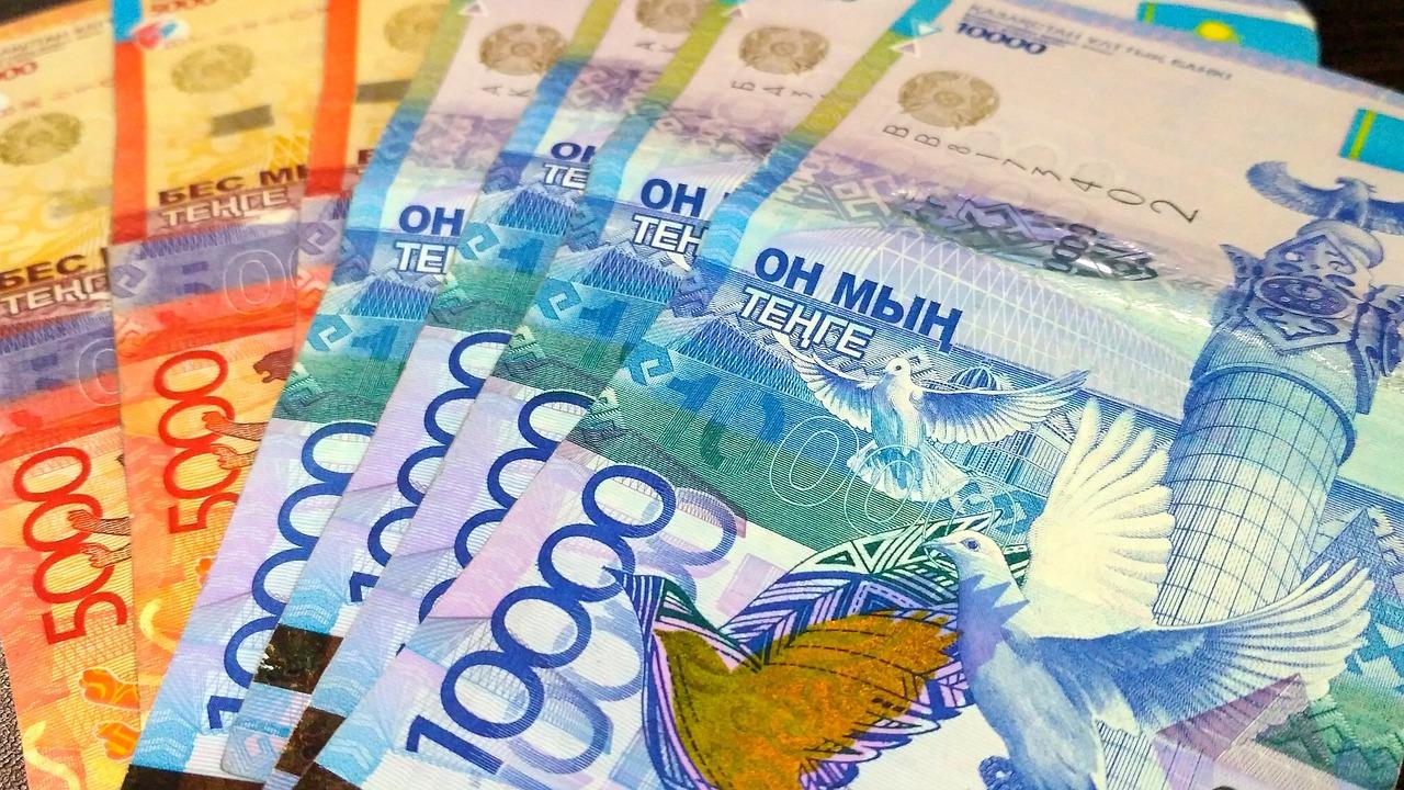
Casino statistics: why players rarely win and how to increase their chances?
No comments · Posted by Sergei Rzhevsky in Entertainment
The percentage of return casino, for example in balloon.casino – strictly fixed in the legislation value. Gambling hall, like a bookmaker’s office, according to modern requirements for the quality of online gambling, can not give players back less than 90% of the incoming funds. All costs, including technical costs for renting servers and staff, casinos are required to allocate from their share of profits, without infringing on the players.
The same applies to bonus programs – encouragement of users should not affect the chance of taking money out of the gaming establishment. At the same time, statistics confirm that only 10% of users remain in the plus at a prolonged fascination with gambling. That is, 90% to some degree or another lose money. How to get into the first 10%, it is worth understanding even before you register in the hall slot machines.

Image by Nyoman Suartawan from Pixabay.
Tags: No tags
25
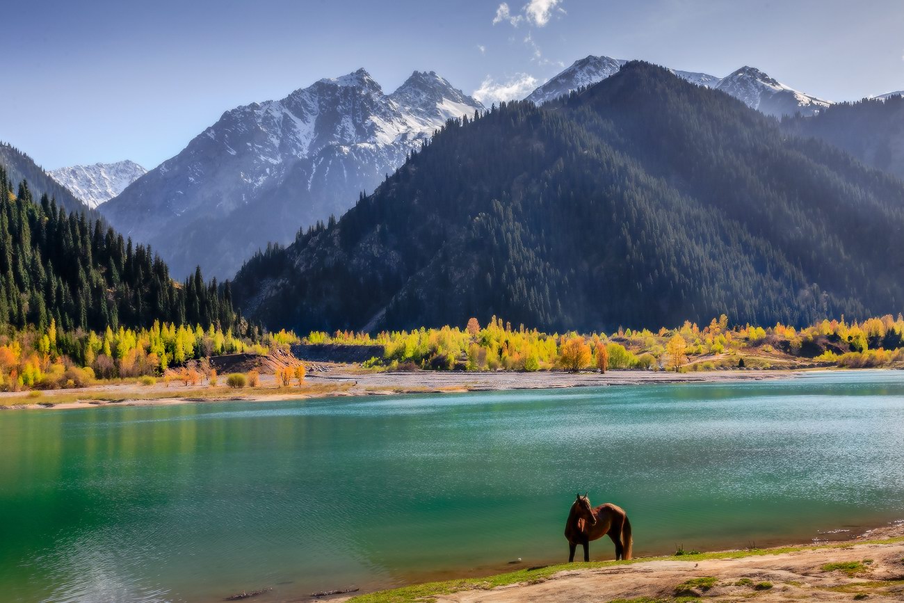
The pristine beauty of Lake Issyk
No comments · Posted by Sergei Rzhevsky in Nature, Photos, Travel
Issyk is a picturesque lake located in the Issyk gorge of the Trans-Ili Alatau mountain range, about 40 km east of Almaty, in the southern part of Almaty Oblast.
It was formed about 8-10 thousand years ago in a landslide that created a natural dam about 300 meters high. Initially, the length of Issyk was 1,850 m, width 500 m, depth 50-79 m. The water is green-blue. The height above sea level is about 1,700 m. Lake Issyk on Google Maps. Photos by: Leonid Dyachenko.
Tags: Almaty oblast
24
Gambling in Kazakhstan: tips, tricks, how to make money in online casinos
No comments · Posted by Sergei Rzhevsky in Entertainment
The world of modern online casinos offers great games and unforgettable emotions, but also carries certain dangers. There is always a risk when playing for money to lose your bet and end the gaming session with nothing, so never let your guard down. And to increase your chances of success, in the article below we will tell you about some tricks and strategies that will help you make the right steps in the world of gambling adventures, maintain financial discipline, confidence in your actions and earn extra money.
Tags: No tags
16
Lucky Jet vs Aviator: a comparison of two high-end Kazakhstan betting games with similar strategies and interfaces
No comments · Posted by Sergei Rzhevsky in Entertainment
Arcade mini-games are becoming increasingly popular in the gaming halls of modern online casinos. Among the leaders in terms of player attention are almost always the crash games Aviator from the developer Spribe and Lucky Jet, accessed by the provider 1win. These games provide players with unique opportunities for fun and winnings, which can be tried out at casino aviator kz. Aviator and Lucky Jet have a similar interface and gameplay principles. So what choice to make between two great arcade games at online casinos? Today we will make a detailed comparison of both games, review their features and help you make the right decision.

Tags: No tags
